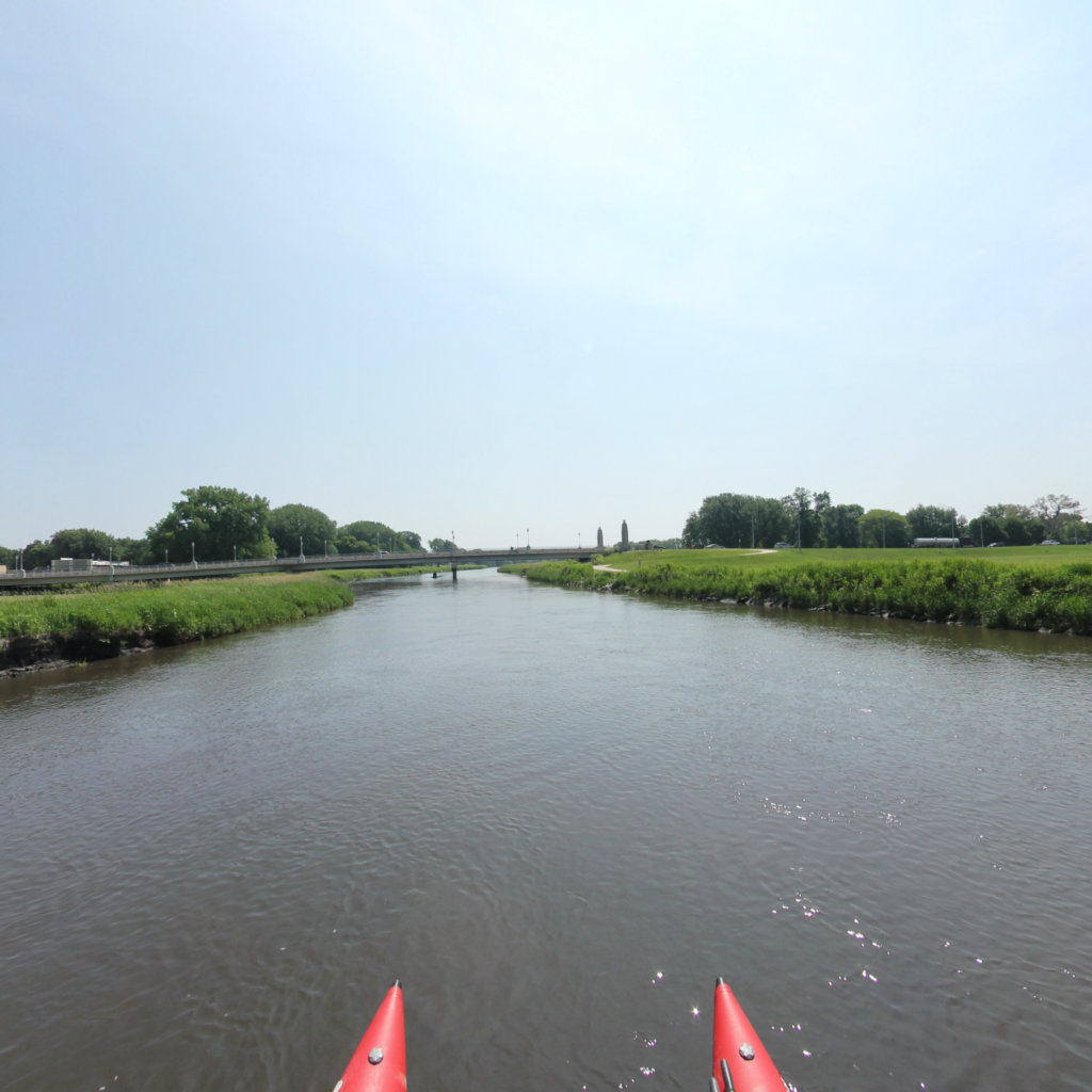
Little Sioux River
A State Scenic River
Project Partners

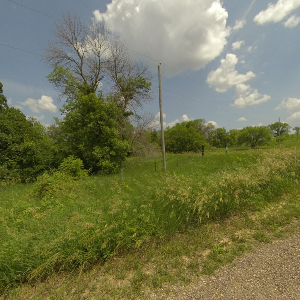
The Little Sioux River is a river in the United States. It rises in southwestern Minnesota near the Iowa border and continues to flow southwest for 258 miles (415 km) across northwest Iowa into the Missouri River at Little Sioux. The Little Sioux River was known as Eaneah-waudepon or "Stone River" to the Sioux Indians. Its tributaries include the Ocheyedan River, Maple River and the West Fork of the Little Sioux River. The Little Sioux River is integral to the Nepper Watershed Project, a major Iowa flood control and soil conservation program that was introduced in 1947. At Turin, Iowa, the Little Sioux River has a mean annual discharge of 1,761 cubic feet per second.
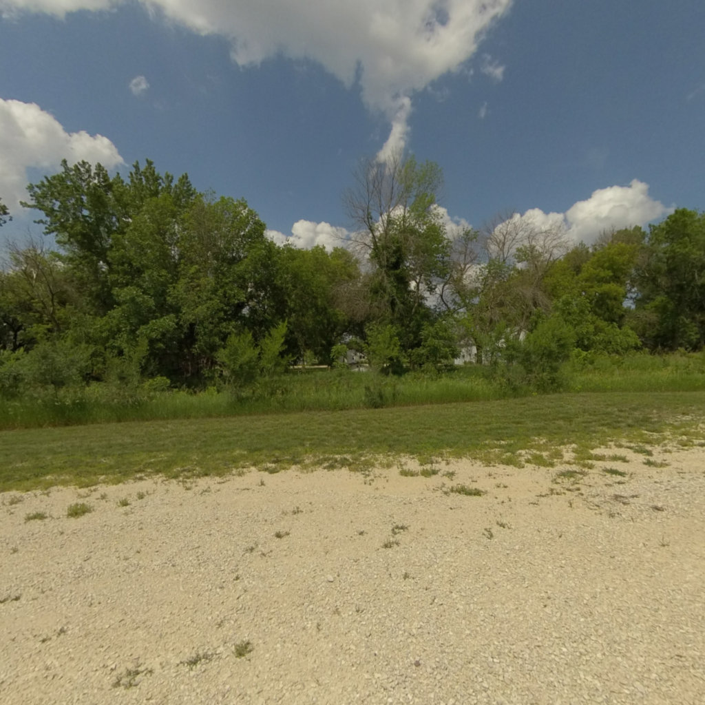
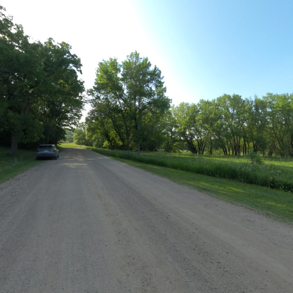
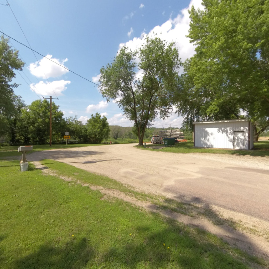
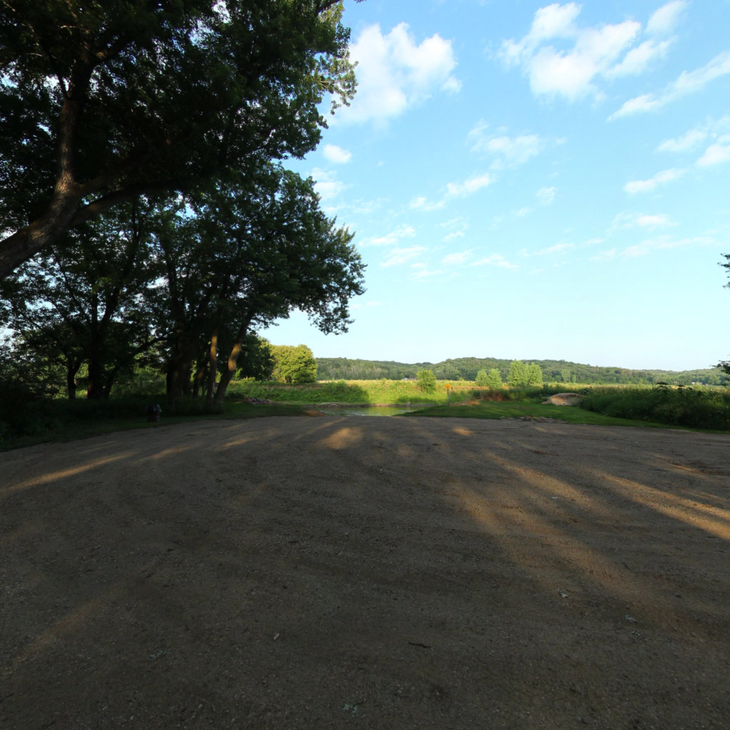
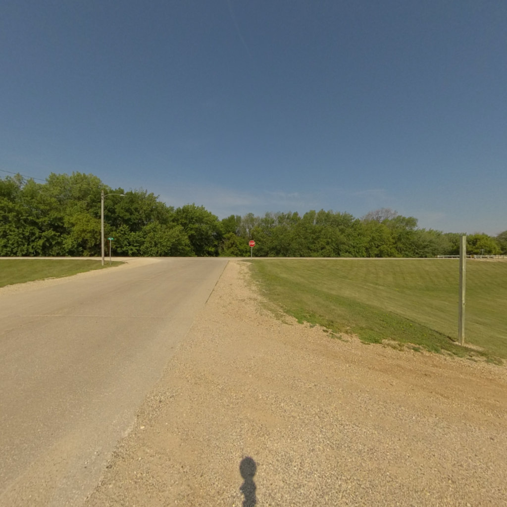
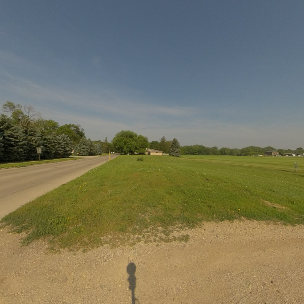
Click on any line in the map to explore the location in street view.
At Terrain360™, our website's dark mode design enhances the user experience on mobile devices, laptops, and tablets, while also aiding in battery conservation and reducing carbon footprint. This is especially beneficial for devices with OLED and AMOLED screens, which are common in modern technology and more energy-efficient when displaying darker colors.